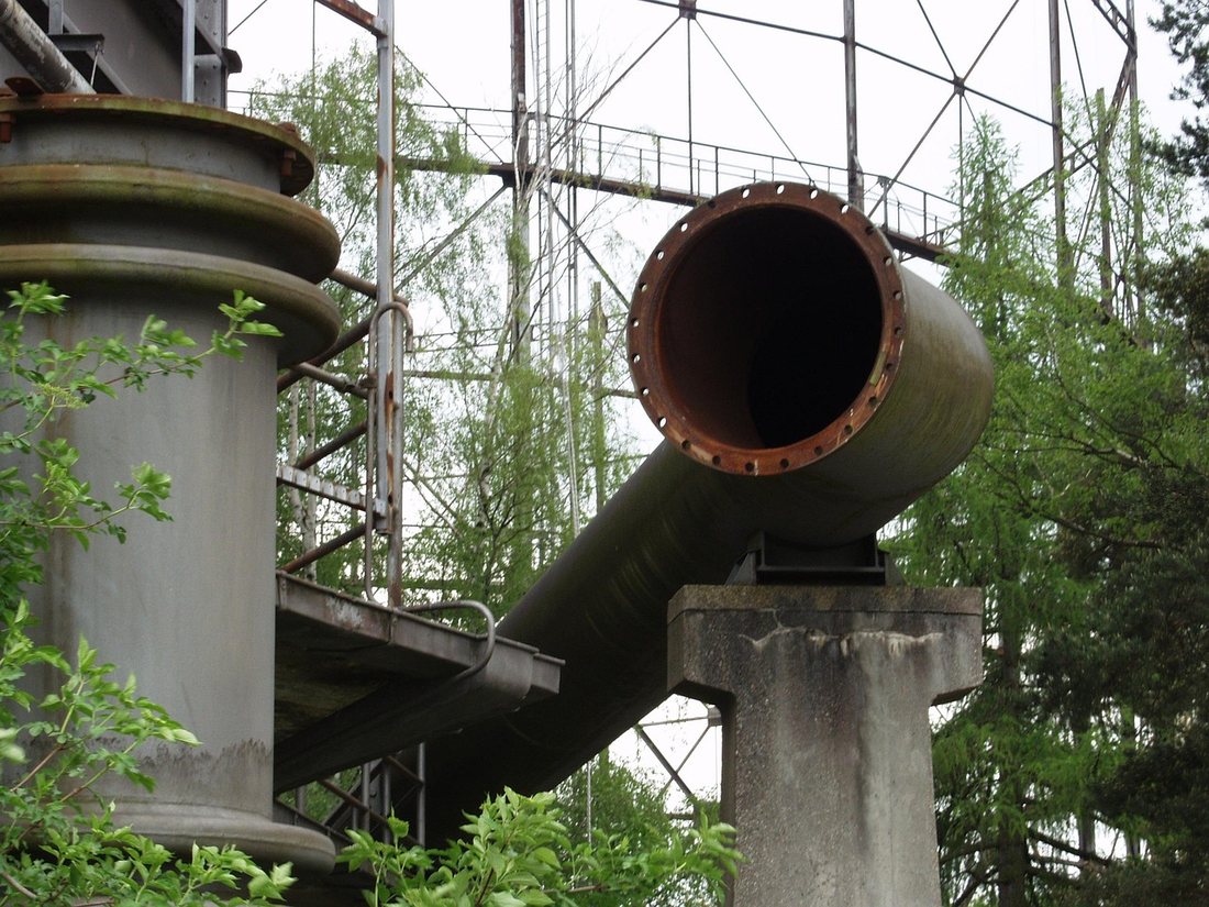
 GAS NETWORKS
Gas Utilities
GIS-enabled gas distribution network mapping, asset management and network analysis.
We help gas distribution companies digitise pipeline networks, valves, regulating stations and consumer connections into a single geodatabase, enabling accurate network tracing, leak-impact analysis and regulatory reporting. Our utility network implementations have supported operators such as Adani Total Gas and Haryana City Gas Distribution in moving from fragmented records to one authoritative, field-ready source of network truth.
 ELECTRIC NETWORKS
Electric Utilities
Network modelling and asset intelligence for electricity distribution.
MapGeoid builds connectivity-aware network models for electricity distribution — from substations and feeders to transformers and consumer connections — giving planning and operations teams the ability to trace load paths, run outage-impact analysis and manage asset lifecycle from a single platform. The result is faster fault isolation, better capital planning and audit-ready asset records.
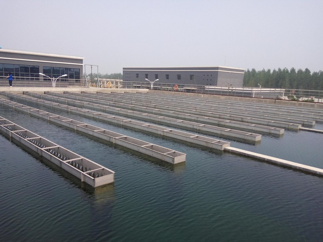 WATER NETWORKS
Water Utilities
Spatial asset management for water distribution networks.
For water utilities, we map distribution mains, valves, hydrants, meters and treatment infrastructure into a governed spatial asset register. This supports leak and non-revenue-water analysis, maintenance scheduling and capital works prioritisation, helping utilities extend asset life while improving service reliability for customers.
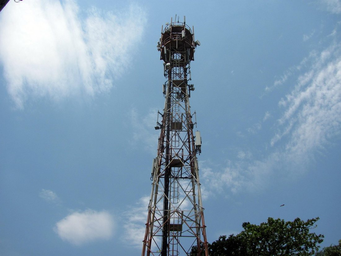 TELECOM NETWORKS
Telecommunications
Route planning and field survey management for fibre and telecom networks.
We support telecom and fibre operators with route planning, field survey digitisation and network inventory management — covering duct, cable, splice point and tower infrastructure. Our tools help network teams plan expansion routes efficiently, keep as-built records accurate, and respond faster to fault and maintenance requests.
 URBAN GIS
Smart Cities
Location intelligence for urban planning and municipal operations.
MapGeoid partners with municipal bodies and urban planners to bring together land use, infrastructure, utility and demographic data into unified spatial dashboards. This location intelligence supports master planning, permit and asset management, and data-driven decisions across civic departments.
 ASSET TRACKING
Infrastructure
Survey, mapping and asset tracking across infrastructure projects.
From roads and bridges to large capital projects, we provide survey-grade mapping, as-built documentation and asset tracking that keeps infrastructure data accurate from construction through operations. Our platforms give project owners a single spatial record for progress tracking, maintenance planning and lifecycle asset management.