 THE CHALLENGE
The challenge
Bringing a growing city gas distribution network into a single, reliable spatial system.
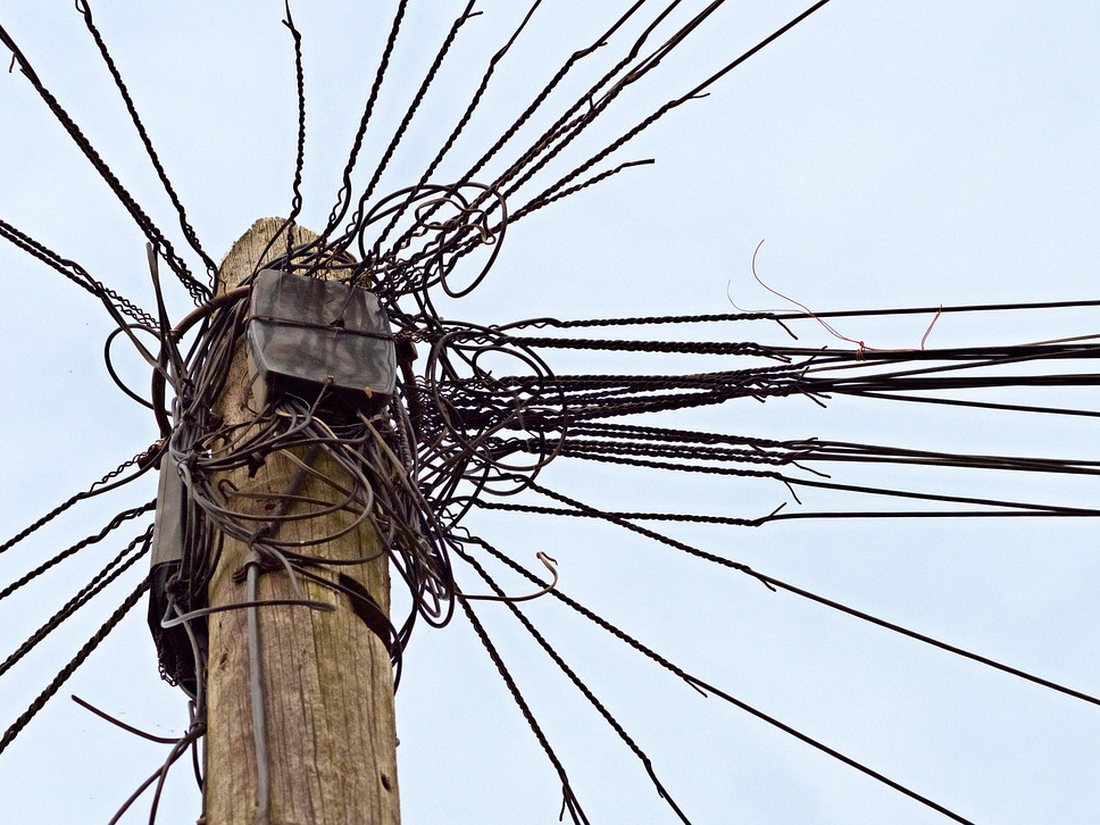
As the city gas distribution (CGD) network expanded to cover new districts, asset information was captured inconsistently across contractors and survey teams. Without a unified spatial system, the operator had limited visibility into pipeline coverage, connection status and asset condition — making network expansion planning and day-to-day maintenance harder to coordinate.
 THE SOLUTION
The solution
Enterprise GIS and utility network implementation across the distribution estate.
MapGeoid delivered an Enterprise GIS platform tailored to city gas distribution, consolidating pipeline networks, district regulating stations and consumer connections into a single geodatabase. Standardised data capture templates and validation rules were rolled out to field survey teams, and the platform was configured to support network tracing, leak-impact analysis and connection-status tracking.
 THE OUTCOME
The outcome
A managed, queryable network supporting operations and planning.
The distribution network is now fully mapped, queryable and continuously updated as the network grows. Operations teams can trace connectivity and isolate affected sections instantly during maintenance, while management gains a reliable dataset for expansion planning, asset audits and regulatory submissions.